• Skip to main content
  • Jump to navigation
  • Search
Globe

IE10 and below are not supported.

Google Chrome Mozilla Firefox

Contact us for any help on browser support

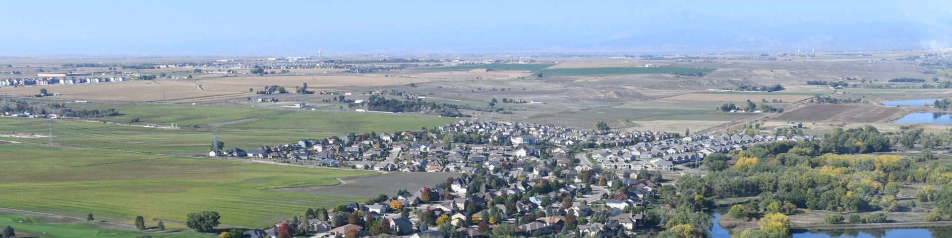
Aerial image of western Greeley

You are here:

  • Home
  • West Greeley Project Updates

Photos

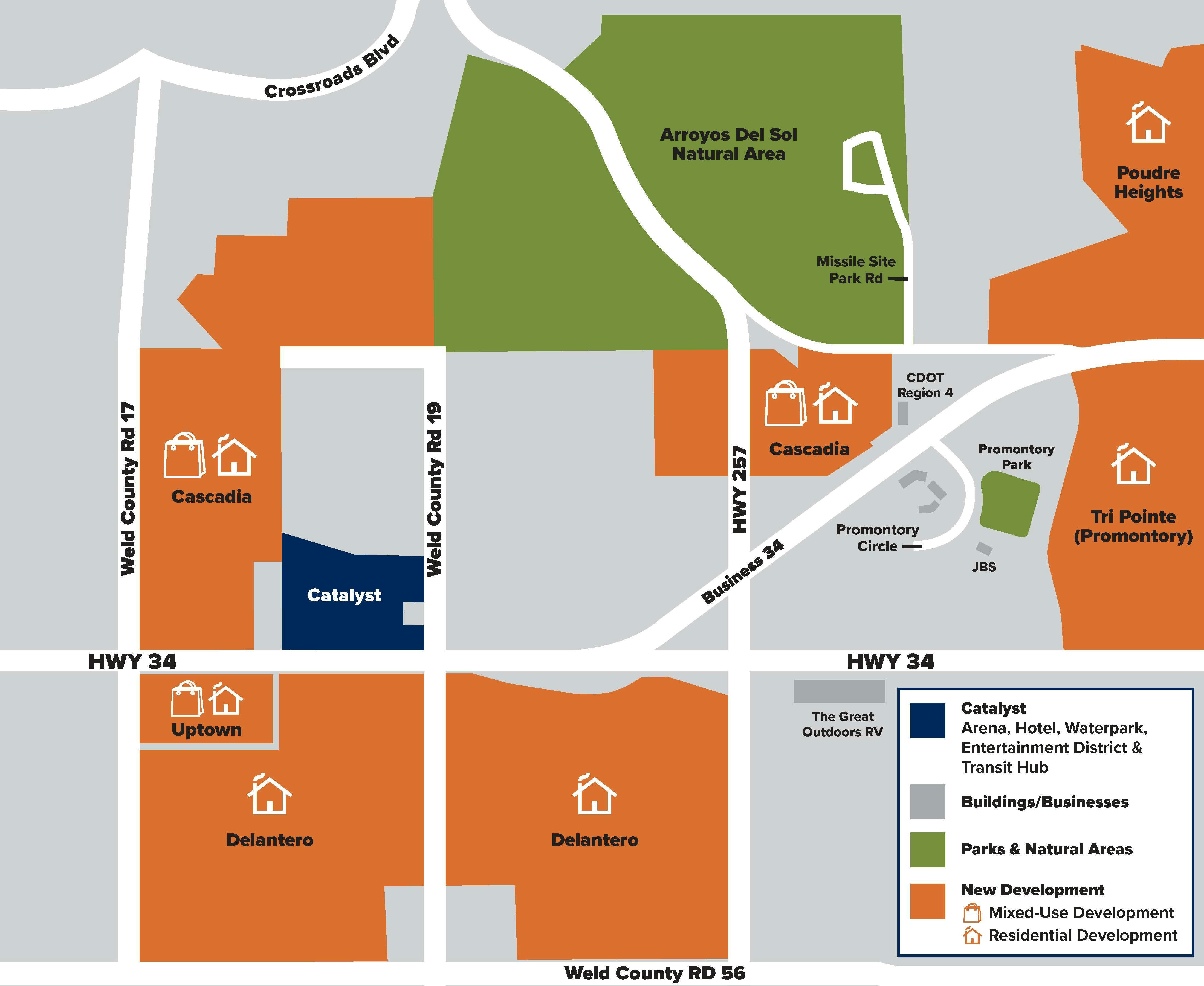
Map of development along U.S. Highway 34 in west Greeley, highlighting the proposed West Greeley Catalyst project, new residential and mixed-use developments, parks, natural areas and nearby roads.
A map illustrating existing and planned development along U.S. Highway 34 in western Greeley, between Weld County Road 17 and areas east of Highway 257. Orange areas identify proposed new residential and mixed-use developments. A dark blue area marks the proposed West Greeley Catalyst project, which includes an arena, hotel, water park, entertainment district, and transit hub. Green areas highlight parks and natural spaces, including Arroyos Del Sol Natural Area and Promontory Park. The map also identifies major roads, nearby businesses, and development locations.
Map of development along U.S. Highway 34 in west Greeley, highlighting the proposed West Greeley Catalyst project, new residential and mixed-use developments, parks, natural areas and nearby roads.